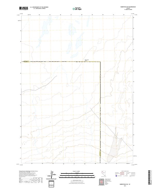
2021 Map of Rabbithole NE
USGS Topo · Published 2021About this map
The Black Rock Desert dominates the northern reaches of this landscape, its dry alkaline flats extending across a remote stretch of the Nevada interior. This map records the crossing of the Humboldt and Pershing county lines, a boundary that bisects the vast, flat terrain where water is scarce and the topography is defined by subtle elevation shifts rather than distinct peaks. The Public Land Survey System grid provides the primary framework for orientation, identifying various townships including t35n r28e and t36n r27e. This modern survey illustrates the sparse infrastructure characteristic of the high desert, where a handful of light-duty roads and jeep trails provide the only access through the basin. It is a portrait of a landscape defined by its environmental extremes and the straight-line logic of western land divisions.
Find a feature on this map
9 named features on this map. Tap any name to fly to it.
Don’t see what you’re looking for? This feature index may not catch every label — zoom into the map to look around manually.
Map Details
Editions of this 2021 Rabbithole NE Map
This is the sole edition of this map. No revisions or reprints were ever made.
Other maps of this area

1886 · Disaster
USGS Topo · 1:250,000

1893 · Disaster
USGS Topo · 1:250,000

1931 · Lovelock
USGS Topo · 1:250,000

1935 · Lovelock
USGS Topo · 1:250,000

1954 · Vya
USGS Topo · 1:250,000

1955 · Lovelock
USGS Topo · 1:250,000

1958 · Vya
USGS Topo · 1:250,000

1959 · Lovelock
USGS Topo · 1:250,000

1962 · Vya
USGS Topo · 1:250,000

1966 · King Lear Peak
USGS Topo · 1:62,500