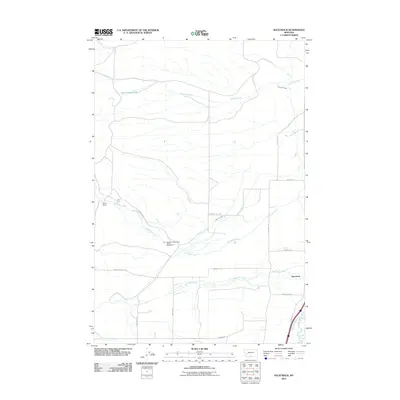
2011 Map of Racetrack
USGS Topo · Published 2011About this map
Agricultural operations and water management define this landscape in Deer Lodge County, most notably at the Montana State Prison Ranch Number 2 and the Perkins Ranch. The terrain is marked by an intricate network of irrigation and natural waterways, including the West Side Canal, Morrison Ditch, and the higher-elevation Powell Reservoirs. These systems feed into larger drainages like Dempsey Creek and Racetrack Creek, which flow toward the Clark Fork valley in the southeast.
Find a feature on this map
24 named features on this map. Tap any name to fly to it.
Don’t see what you’re looking for? This feature index may not catch every label — zoom into the map to look around manually.
Map Details
Editions of this 2011 Racetrack Map
This is the sole edition of this map. No revisions or reprints were ever made.
Other maps of this area

1889 · Helena
USGS Topo · 1:250,000

1893 · Helena
USGS Topo · 1:250,000

1899 · Helena
USGS Topo · 1:250,000

1903 · Helena
USGS Topo · 1:250,000

1947 · Butte
USGS Topo · 1:250,000

1958 · Butte
USGS Topo · 1:250,000

1959 · Butte North
USGS Topo · 1:62,500

1959 · Deer Lodge
USGS Topo · 1:62,500

1960 · Butte
USGS Topo · 1:250,000

1961 · Anaconda
USGS Topo · 1:62,500