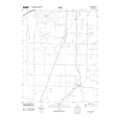
2010 Map of Racine
USGS Topo · Published 2010About this map
Loma Linda and the surrounding tri-state borderlands of Missouri, Oklahoma, and Kansas are captured in this 2010 survey. The landscape is defined by its small crossroads settlements and a dense network of country roads like State Line Rd and Bison Rd. Several family and community burial grounds, including Cole Cemetery, Gibson Cemetery, and Buzzard Cemetery, are preserved throughout the township. The topography is etched by numerous watercourses such as Fivemile Creek and Spring Creek, which feeds into the Austin Harrison Reservoir near the community of Racine. This era shows a mix of rural residency and local infrastructure, evidenced by landmarks like the Cal Acres Airport and the Newton County Structure E-1 Dam, illustrating how water management and aviation have integrated into the older agricultural grid of the Ozark foothills.
Find a feature on this map
72 named features on this map. Tap any name to fly to it.
Don’t see what you’re looking for? This feature index may not catch every label — zoom into the map to look around manually.
Map Details
Editions of this 2010 Racine Map
This is the sole edition of this map. No revisions or reprints were ever made.
Other maps of this area

1886 · Joplin
USGS Topo · 1:125,000

1886 · Carthage
USGS Topo · 1:125,000

1894 · Joplin
USGS Topo · 1:125,000

1894 · Carthage
USGS Topo · 1:125,000

1907 · Wyandotte
USGS Topo · 1:125,000

1909 · Wyandotte
USGS Topo · 1:125,000

1916 · Neosho
USGS Topo · 1:62,500

1947 · Joplin
USGS Topo · 1:250,000

1949 · Joplin
USGS Topo · 1:250,000

1949 · Seneca
USGS Topo · 1:24,000