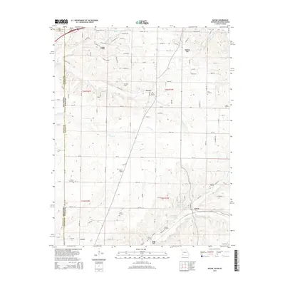
2015 Map of Racine
USGS Topo · Published 2015About this map
Loma Linda and the small communities of Hornet, Modoc Valley, and Racine characterize this portion of Newton County along the Missouri-Oklahoma state line. The landscape is defined by the drainages of Fivemile Cr and Warren Br, with the southern reaches of the map showing the suburban and industrial fringes of Seneca. This 2015 survey is particularly valuable for genealogists due to the high density of family and community burial sites, including the Hornet Cemetery, Gibson Cemetery, and Burkhart Cemetery. Aviation history is noted by the presence of the Five Mile Airport situated north of Fivemile Cr. The map also captures the local water management through the Austin Harrison Reservoir and Structure E-1 Reservoir, reflecting the rural-residential character of the region as it transitioned into the early 21st century.
Find a feature on this map
98 named features on this map. Tap any name to fly to it.
Don’t see what you’re looking for? This feature index may not catch every label — zoom into the map to look around manually.
Map Details
Editions of this 2015 Racine Map
This is the sole edition of this map. No revisions or reprints were ever made.
Other maps of this area

1886 · Joplin
USGS Topo · 1:125,000

1886 · Carthage
USGS Topo · 1:125,000

1894 · Joplin
USGS Topo · 1:125,000

1894 · Carthage
USGS Topo · 1:125,000

1907 · Wyandotte
USGS Topo · 1:125,000

1909 · Wyandotte
USGS Topo · 1:125,000

1916 · Neosho
USGS Topo · 1:62,500

1947 · Joplin
USGS Topo · 1:250,000

1949 · Joplin
USGS Topo · 1:250,000

1949 · Seneca
USGS Topo · 1:24,000