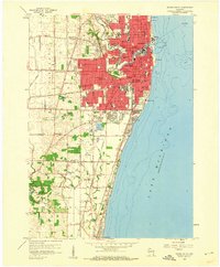
1958 Map of Racine South
USGS Topo · Published 1960About this map
The Root River winds through the heart of Racine, defining the urban landscape as it meets Lake Michigan. In the late 1950s, the city's growth is marked by a dense grid of schools and parochial institutions, from Horlick High Sch to Holy Name Sch. This era captures the city's established industrial and social fabric before the major shifts of the late 20th century, including the operation of the Chicago North Shore and Milwaukee railroad. South of the city, the land transitions into the open spaces of Racine Co and Kenosha Co, where the Pike River meanders toward Petrifying Springs Park. Local genealogists will find significant detail in the city's large burial grounds, including Mound Cemetery and Graceland Cemetery, while the presence of the Drive-in Theater and Zoological Park reflects the mid-century recreational life of the lakefront community.
Find a feature on this map
69 named features on this map. Tap any name to fly to it.
Don’t see what you’re looking for? This feature index may not catch every label — zoom into the map to look around manually.
Map Details
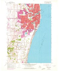
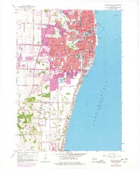
Editions of this 1958 Racine South Map
3 editions found
Other maps of this area

1891 · Bayview
USGS Topo · 1:62,500

1892 · Racine
USGS Topo · 1:62,500

1901 · Bayview
USGS Topo · 1:62,500

1905 · Racine
USGS Topo · 1:62,500
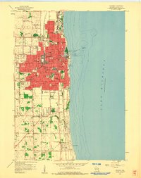
1958 · Kenosha
USGS Topo · 1:24,000
1958 · Racine North
USGS Topo · 1:24,000
1958 · South Milwaukee
USGS Topo · 1:62,500
1958 · Pleasant Prairie
USGS Topo · 1:24,000
1958 · Franksville
USGS Topo · 1:24,000

1958 · Racine
USGS Topo · 1:250,000