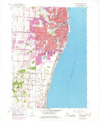
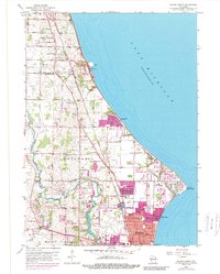
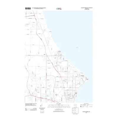
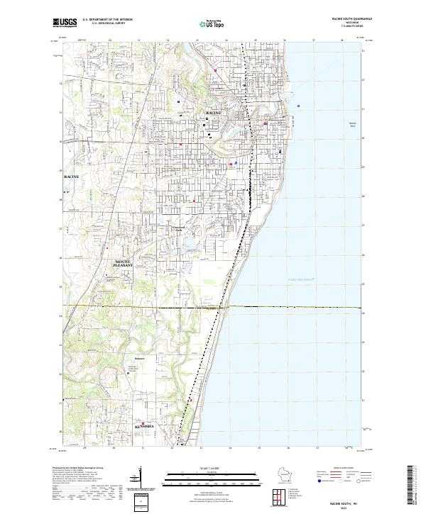
1958 Map of Racine South
USGS Topo · Published 1977About this map
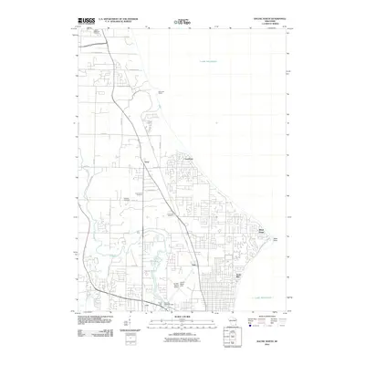
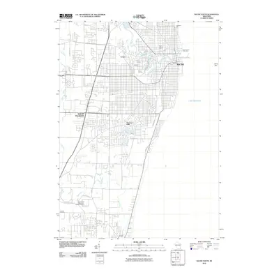
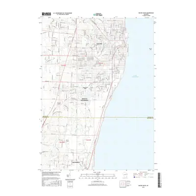
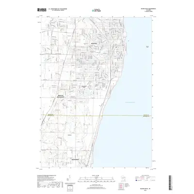
The Root River winds through the heart of Racine, Wisconsin, serving as the industrial and geographical spine of a city defined by its Lake Michigan coastline. This mid-century landscape shows a community built on a foundation of education and industry, with numerous neighborhood institutions such as Horlick High Sch and Washington Park High Sch anchoring the urban grid. The shoreline is dominated by public spaces like Pershing Park and essential infrastructure including the Waterworks and Sewage Disposal plant.
Find a feature on this map
75 named features on this map. Tap any name to fly to it.
Don’t see what you’re looking for? This feature index may not catch every label — zoom into the map to look around manually.
Map Details
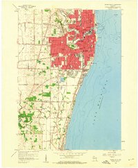
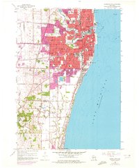
Editions of this 1958 Racine South Map
3 editions found
Historical Maps of Kenosha Through Time
24 maps found
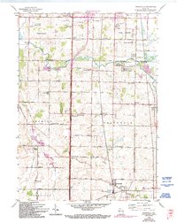
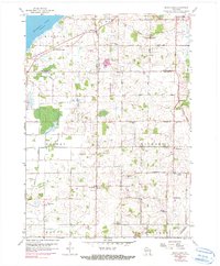
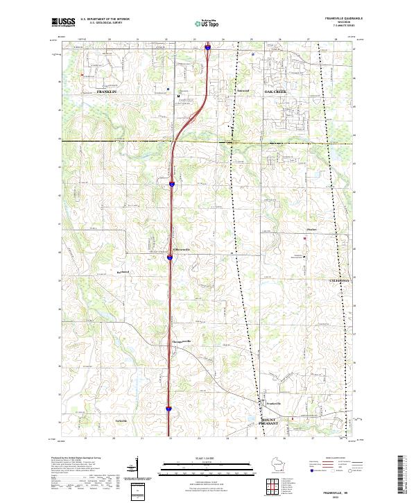
1958 Franksville
Racine County, WI
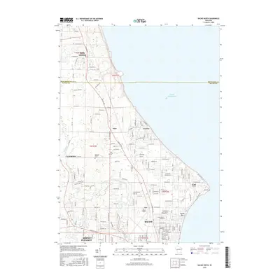
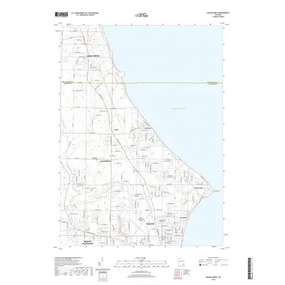
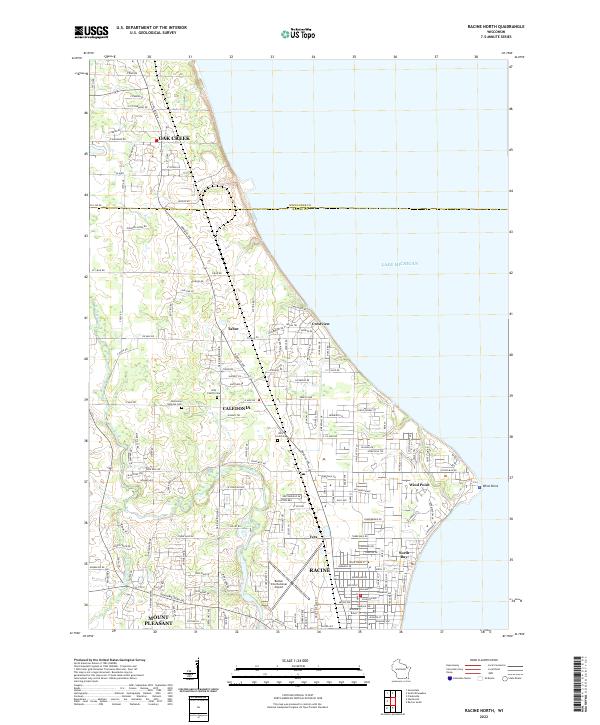
1958 Racine North
Racine County, WI
1958 Racine South
Racine County, WI
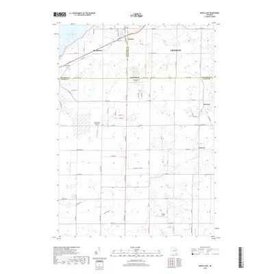
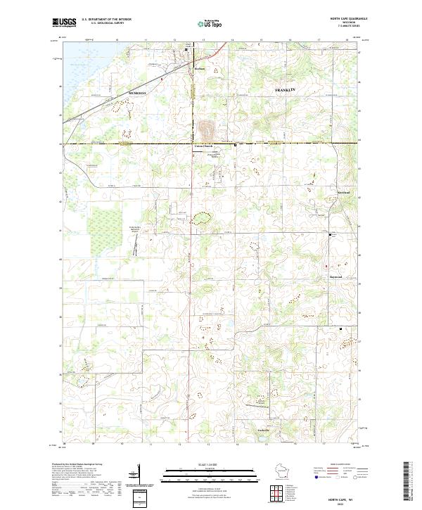
1959 North Cape
Racine County, WI
2010 Franksville
Racine County, WI
2010 North Cape
Racine County, WI
2010 Racine North
Racine County, WI
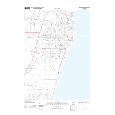
2010 Racine South
Racine County, WI
2013 Franksville
Racine County, WI
2013 North Cape
Racine County, WI
2013 Racine North
Racine County, WI
2013 Racine South
Racine County, WI

2016 Franksville
Racine County, WI
2016 North Cape
Racine County, WI
2016 Racine North
Racine County, WI
2016 Racine South
Racine County, WI

2018 Franksville
Racine County, WI
2018 North Cape
Racine County, WI
2018 Racine North
Racine County, WI
2018 Racine South
Racine County, WI
2022 Franksville
Racine County, WI
2022 North Cape
Racine County, WI
2022 Racine North
Racine County, WI
2022 Racine South
Racine County, WI