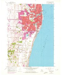
1958 Map of Racine South
USGS Topo · Published 1972About this map
Racine is depicted during a period of significant post-war urban expansion, with its industrial and residential core extending toward the Racine Co Kenosha Co line. The map highlights the city's complex institutional landscape, from the sprawling Graceland Cemetery and Mound Cemetery to the lakeside DeKoven Foundation. Education and industry appear as the twin pillars of the community, evidenced by the numerous parochial institutions like St Rose Sch and the extensive industrial grounds of Case-Harmon Field.
Find a feature on this map
63 named features on this map. Tap any name to fly to it.
Don’t see what you’re looking for? This feature index may not catch every label — zoom into the map to look around manually.
Map Details
Editions of this 1958 Racine South Map
3 editions found
Other maps of this area

1891 · Bayview
USGS Topo · 1:62,500

1892 · Racine
USGS Topo · 1:62,500

1901 · Bayview
USGS Topo · 1:62,500

1905 · Racine
USGS Topo · 1:62,500
1958 · Kenosha
USGS Topo · 1:24,000
1958 · Racine North
USGS Topo · 1:24,000
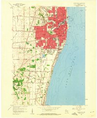
1958 · Racine South
USGS Topo · 1:24,000
1958 · South Milwaukee
USGS Topo · 1:62,500
1958 · Pleasant Prairie
USGS Topo · 1:24,000
1958 · Franksville
USGS Topo · 1:24,000