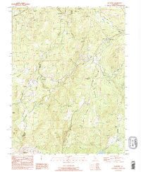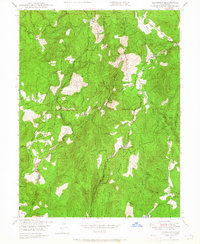
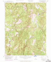
1948 Map of Rackerby
USGS Topo · Published 1965About this map
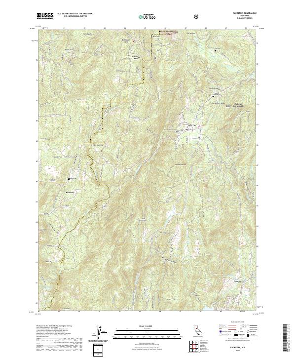
Rackerby and Brownsville anchor a landscape defined by the extraction and timber economies of the northern Sierra foothills shortly after World War II. The terrain is marked by historic mining operations such as the Central Pacific Mine, Manzanita Mine, and Thresh-One Mine, alongside evidence of the timber industry at Robinson Mills. The mapping reveals a network of small family-named agricultural holdings and homesteads, including Willow Glen Ranch, Ross Ranch, and Finley Ranch, which are interspersed throughout the dense ridges of the Plumas National Forest.
Find a feature on this map
40 named features on this map. Tap any name to fly to it.
Don’t see what you’re looking for? This feature index may not catch every label — zoom into the map to look around manually.
Map Details
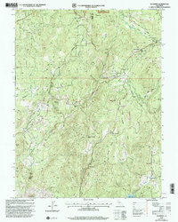
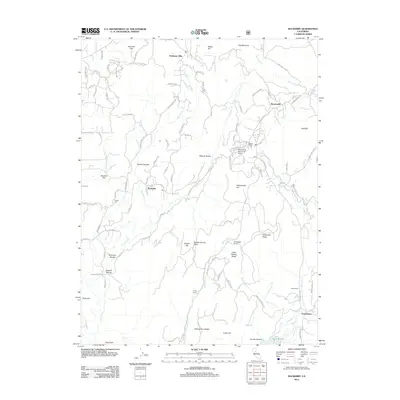
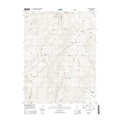
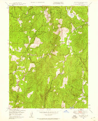
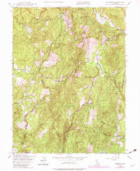
Editions of this 1948 Rackerby Map
4 editions found
Historical Maps of Robinson Mills Through Time
8 maps found