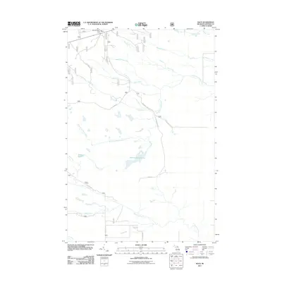
2011 Map of Raco
USGS Topo · Published 2011About this map
Raco serves as the primary settlement hub for this portion of Chippewa County, characterized by a complex network of forest service roads and water management features. The area is defined by its significant hydrography, including the Sylvester Impoundment and the winding West Branch Waiska River. The local infrastructure is deeply tied to the surrounding woodlands, evidenced by the presence of Camp Dearborn and the historical Raco Post Office.
Find a feature on this map
26 named features on this map. Tap any name to fly to it.
Don’t see what you’re looking for? This feature index may not catch every label — zoom into the map to look around manually.
Map Details
Editions of this 2011 Raco Map
This is the sole edition of this map. No revisions or reprints were ever made.
Other maps of this area

1941 · Strongs
USGS Topo · 1:63,360

1941 · Brimley
USGS Topo · 1:63,360

1951 · Pendills Lake
USGS Topo · 1:24,000

1951 · Dollar Settlement
USGS Topo · 1:24,000

1951 · Sullivan Creek
USGS Topo · 1:24,000

1951 · Raco
USGS Topo · 1:24,000

1951 · Kinross
USGS Topo · 1:24,000

1951 · Brimley
USGS Topo · 1:62,500

1951 · Strongs
USGS Topo · 1:62,500

1951 · Brimley
USGS Topo · 1:24,000
Featured Places
- Kinross Township, MI
- Rudyard Township, MI
- Superior Township, MI
- Trout Lake Township, MI
- Chippewa County, MI