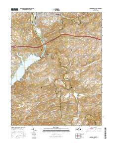
2016 Map of Radford South
USGS Topo · Published 2016About this map
The New River meanders through the heart of this region, shaping the local geography from the northern outskirts of Radford down to the sprawling waters of Claytor Lake. Along its banks, the Ingles Ferry Bridge stands as a landmark near Ingles Mtn, connecting the river's historic crossings to the modern transport corridors of Pulaski and Montgomery Counties. Further south, the landscape is defined by the winding course of the Little River, which feeds the Little River Reservoir and passes through several rural communities. Small settlements such as Snowville, Graysontown, and Simpkinstown characterize the upland areas, reflecting a traditional Virginia pattern of dispersed farming hamlets. Local family history is well-represented through numerous sites, including the West View Cem and Snowville Cem, providing a clear record of the area's ancestral geography and development.
Find a feature on this map
132 named features on this map. Tap any name to fly to it.
Don’t see what you’re looking for? This feature index may not catch every label — zoom into the map to look around manually.
Map Details
Editions of this 2016 Radford South Map
This is the sole edition of this map. No revisions or reprints were ever made.
Other maps of this area

1889 · Hillsville
USGS Topo · 1:125,000

1890 · Dublin
USGS Topo · 1:125,000

1890 · Christiansburg
USGS Topo · 1:125,000

1891 · Dublin
USGS Topo · 1:125,000

1892 · Hillsville
USGS Topo · 1:125,000

1896 · Hillsville
USGS Topo · 1:125,000

1932 · Blacksburg
USGS Topo · 1:48,000

1937 · Blacksburg
USGS Topo · 1:62,500

1950 · Radford
USGS Topo · 1:62,500

1953 · Winston-Salem
USGS Topo · 1:250,000