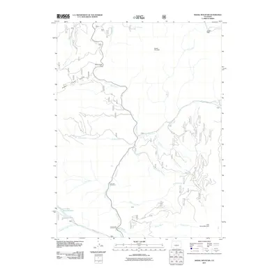
2011 Map of Radial Mountain
USGS Topo · Published 2011About this map
The Rabbit Ears Range dominates this portion of Grand County, forming a high-altitude divide where numerous drainages begin their descent. This 2011 survey illustrates the complex water network of the area, centered around the winding course of Willow Creek, which collects tributaries such as Pass Creek, Bronco Creek, and Kauffman Creek. Strategic mountain crossings are documented at Willow Creek Pass and Illinois Pass, marking the historical transit routes through this formidable terrain.
Find a feature on this map
27 named features on this map. Tap any name to fly to it.
Don’t see what you’re looking for? This feature index may not catch every label — zoom into the map to look around manually.
Map Details
Editions of this 2011 Radial Mountain Map
This is the sole edition of this map. No revisions or reprints were ever made.
Other maps of this area

1915 · Longs Peak
USGS Topo · 1:125,000

1919 · Rocky Mountain National Park
USGS Topo · 1:125,000

1954 · Greeley
USGS Topo · 1:250,000

1954 · Craig
USGS Topo · 1:250,000

1956 · Radial Mountain
USGS Topo · 1:24,000

1956 · Jack Creek Ranch
USGS Topo · 1:24,000

1956 · Parkview Mountain
USGS Topo · 1:24,000

1956 · Rand
USGS Topo · 1:24,000

1956 · Rand
USGS Topo · 1:62,500

1957 · Craig
USGS Topo · 1:250,000