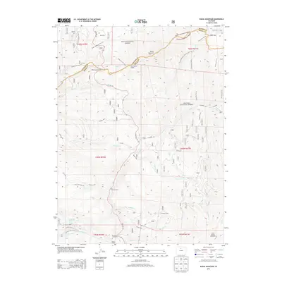
2013 Map of Radial Mountain
USGS Topo · Published 2013About this map
Willow Creek Pass marks a critical crossing of the Continental Divide in the high country of Grand and Jackson counties. This 2013 survey documents the intersection of the Routt National Forest and Arapaho National Forest, where a dense network of recreational trails and forestry roads navigates the complex terrain. Significant corridors like the Continental Divide National Scenic Trail NST and State Hwy 125 provide passage through the peaks, connecting remote sites such as the Trail Creek Campground and Denver Creek Campground.
Find a feature on this map
50 named features on this map. Tap any name to fly to it.
Don’t see what you’re looking for? This feature index may not catch every label — zoom into the map to look around manually.
Map Details
Editions of this 2013 Radial Mountain Map
This is the sole edition of this map. No revisions or reprints were ever made.
Other maps of this area

1915 · Longs Peak
USGS Topo · 1:125,000

1919 · Rocky Mountain National Park
USGS Topo · 1:125,000

1954 · Greeley
USGS Topo · 1:250,000

1954 · Craig
USGS Topo · 1:250,000

1956 · Radial Mountain
USGS Topo · 1:24,000

1956 · Jack Creek Ranch
USGS Topo · 1:24,000

1956 · Parkview Mountain
USGS Topo · 1:24,000

1956 · Rand
USGS Topo · 1:24,000

1956 · Rand
USGS Topo · 1:62,500

1957 · Craig
USGS Topo · 1:250,000