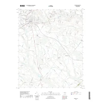
2019 Map of Raeford
USGS Topo · Published 2019About this map
Raeford serves as the primary hub of this landscape, situated at the junction of several key regional routes and surrounded by smaller settlements like Silver City and Hillcrest. The geography is defined by a complex network of wetlands and watercourses, including the expansive Big Marsh Swamp and Little Raft Swamp that dominate the southern half of the quadrangle. These drainage patterns influenced the placement of early communities like Antioch and Dundarrach, which sit on the slightly higher ground between these bottomlands.
Find a feature on this map
160 named features on this map. Tap any name to fly to it.
Don’t see what you’re looking for? This feature index may not catch every label — zoom into the map to look around manually.
Map Details
Editions of this 2019 Raeford Map
This is the sole edition of this map. No revisions or reprints were ever made.
Other maps of this area

1948 · Southern Pines
USGS Topo · 1:62,500

1948 · Clifdale
USGS Topo · 1:62,500

1948 · Nicholson Creek
USGS Topo · 1:24,000

1948 · Clifdale
USGS Topo · 1:24,000

1948 · Mc Cain
USGS Topo · 1:24,000

1949 · Wagram
USGS Topo · 1:24,000

1949 · Wakulla
USGS Topo · 1:24,000

1949 · Laurinburg
USGS Topo · 1:62,500

1950 · Clifdale
USGS Topo · 1:24,000

1950 · Sanatorium
USGS Topo · 1:24,000