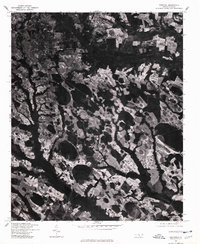
1976 Map of Raeford
USGS Topo · Published 1978About this map
Raeford serves as the focal point of this 1976 orthophotograph, which captures the distinct landscape of Hoke County through aerial imagery rather than traditional line-drawn symbols. The settlement of Dundarrach is visible to the southeast, set against a complex patchwork of forest and agricultural clearings. This photographic record, produced in cooperation with the Soil Conservation Service, reveals the unique geological depressions and drainage patterns characteristic of the region. The aerial perspective allows for a direct study of land use and vegetation density as they existed in the mid-1970s, providing a raw visual baseline of the town's footprint and surrounding rural developments before later expansion.
Find a feature on this map
2 named features on this map. Tap any name to fly to it.
Don’t see what you’re looking for? This feature index may not catch every label — zoom into the map to look around manually.
Map Details
Editions of this 1976 Raeford Map
This is the sole edition of this map. No revisions or reprints were ever made.
Other maps of this area

1948 · Southern Pines
USGS Topo · 1:62,500

1948 · Clifdale
USGS Topo · 1:62,500

1948 · Nicholson Creek
USGS Topo · 1:24,000

1948 · Clifdale
USGS Topo · 1:24,000

1948 · Mc Cain
USGS Topo · 1:24,000

1949 · Wagram
USGS Topo · 1:24,000

1949 · Wakulla
USGS Topo · 1:24,000

1949 · Laurinburg
USGS Topo · 1:62,500

1950 · Clifdale
USGS Topo · 1:24,000

1950 · Sanatorium
USGS Topo · 1:24,000