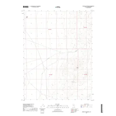
2018 Map of Ragged Top Mountain
USGS Topo · Published 2018About this map
Ragged Top Mtn dominates the eastern elevation of this high-desert landscape in Pershing County, marking a prominent peak within the Trinity Range. The terrain transitions westward into the broad, low-lying expanse of the Granite Springs Valley, a geographic shift captured in fine detail by the U.S. Geological Survey in this 2018 edition. The survey reveals a sparse human footprint, primarily defined by the Ragged Top Rd which cuts through the central sections to provide access across the arid basin. This map serves as a primary reference for the intricate township and range grid system, including t26n r28e and t25n r29e, which governs land management and historical mining claims throughout this remote Great Basin interior.
Find a feature on this map
8 named features on this map. Tap any name to fly to it.
Don’t see what you’re looking for? This feature index may not catch every label — zoom into the map to look around manually.
Map Details
Editions of this 2018 Ragged Top Mountain Map
This is the sole edition of this map. No revisions or reprints were ever made.
Other maps of this area

1908 · Carson Sink
USGS Topo · 1:250,000

1910 · Carson Sink
USGS Topo · 1:250,000

1931 · Lovelock
USGS Topo · 1:250,000

1935 · Lovelock
USGS Topo · 1:250,000

1951 · Carson Sink
USGS Topo · 1:62,500

1951 · Desert Peak
USGS Topo · 1:62,500

1955 · Lovelock
USGS Topo · 1:250,000

1956 · Toulon
USGS Topo · 1:62,500

1957 · Reno
USGS Topo · 1:250,000

1959 · Lovelock
USGS Topo · 1:250,000