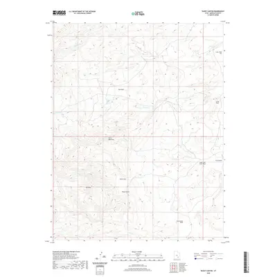
2020 Map of Raggy Canyon
USGS Topo · Published 2020About this map
The Henry Mountains dominate this high-desert landscape in Garfield County, Utah, where a complex network of dry washes and seasonal creeks has carved a labyrinthine topography. The terrain is marked by distinctive geological features such as The Black and Little Egypt, illustrating the unique erosional patterns of the Colorado Plateau. Water remains the primary architect of the land, with Crescent Cr and Seep Wash winding through the canyons, while Lecleed Spring provides a rare point of permanent water in an otherwise arid expanse.
Find a feature on this map
15 named features on this map. Tap any name to fly to it.
Don’t see what you’re looking for? This feature index may not catch every label — zoom into the map to look around manually.
Map Details
Editions of this 2020 Raggy Canyon Map
This is the sole edition of this map. No revisions or reprints were ever made.
Other maps of this area

1885 · San Rafael
USGS Topo · 1:250,000

1886 · Henry Mountains
USGS Topo · 1:250,000

1892 · Henry Mountains
USGS Topo · 1:250,000

1952 · Mount Ellen 4 SW
USGS Topo · 1:24,000

1952 · Mt Pennell 2 NE
USGS Topo · 1:24,000

1952 · Mt Pennell 1 NE
USGS Topo · 1:24,000

1952 · Mt Hillers
USGS Topo · 1:62,500

1952 · Mt. Ellen 4 NW
USGS Topo · 1:24,000

1952 · Mt Pennell 1 NW
USGS Topo · 1:24,000

1952 · Bull Mountain
USGS Topo · 1:62,500