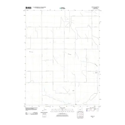
2010 Map of Rago
USGS Topo · Published 2010About this map
Rago sits at the intersection of a vast grid of section roads in this high plains landscape of Morgan County. The area’s economy is clearly defined by its natural resources, with the Rago Oil Field and North Rago Oil Field indicating the region's industrial footprint amidst the grazing lands and intermittent drainages. Water management and topographic contours are traced by the seasonal paths of Buck Creek, Camp Creek, and the long depressions of Shears Draw. The map reveals a highly structured rural environment where a network of county roads, including County Rd-30 and County Rd-38, provides the primary infrastructure for local ranching and energy extraction operations.
Find a feature on this map
26 named features on this map. Tap any name to fly to it.
Don’t see what you’re looking for? This feature index may not catch every label — zoom into the map to look around manually.
Map Details
Editions of this 2010 Rago Map
This is the sole edition of this map. No revisions or reprints were ever made.
Other maps of this area

1954 · Limon
USGS Topo · 1:250,000

1954 · Sterling
USGS Topo · 1:250,000

1957 · Limon
USGS Topo · 1:250,000

1958 · Limon
USGS Topo · 1:250,000

1958 · Sterling
USGS Topo · 1:250,000

1965 · Gary
USGS Topo · 1:24,000

1965 · Miller Ranch
USGS Topo · 1:24,000

1973 · Woodrow
USGS Topo · 1:24,000

1973 · Antelope Creek East
USGS Topo · 1:24,000

1973 · Antelope Creek West
USGS Topo · 1:24,000