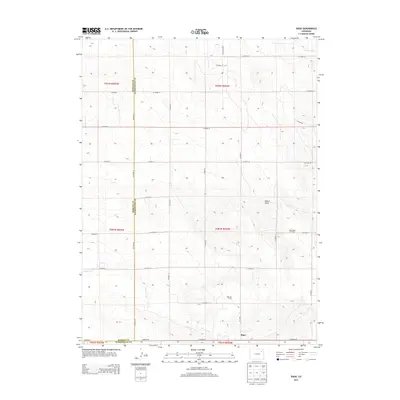
2013 Map of Rago
USGS Topo · Published 2013About this map
Rago serves as a central point in this High Plains landscape, situated along the border of Morgan and Washington Counties. The area is defined by a grid of rural routes including Co Road 30 and Co Road T, which navigate a terrain carved by ephemeral watercourses like Buck Creek and Camp Creek. This 2013 survey illustrates the footprint of regional energy production, specifically marking the Rago Oil Field and North Rago Oil Field. These sites, alongside landmarks such as Shears Draw, reveal how the local economy and topography are intertwined. The map provides a clear record of land divisions and the infrastructure required to support isolated prairie settlements and resource extraction in eastern Colorado.
Find a feature on this map
35 named features on this map. Tap any name to fly to it.
Don’t see what you’re looking for? This feature index may not catch every label — zoom into the map to look around manually.
Map Details
Editions of this 2013 Rago Map
This is the sole edition of this map. No revisions or reprints were ever made.
Other maps of this area

1954 · Limon
USGS Topo · 1:250,000

1954 · Sterling
USGS Topo · 1:250,000

1957 · Limon
USGS Topo · 1:250,000

1958 · Limon
USGS Topo · 1:250,000

1958 · Sterling
USGS Topo · 1:250,000

1965 · Gary
USGS Topo · 1:24,000

1965 · Miller Ranch
USGS Topo · 1:24,000

1973 · Woodrow
USGS Topo · 1:24,000

1973 · Antelope Creek East
USGS Topo · 1:24,000

1973 · Antelope Creek West
USGS Topo · 1:24,000