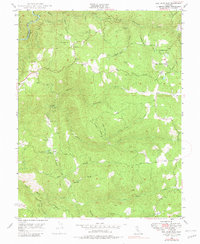
1948 Map of Rail Road Flat
USGS Topo · Published 1981About this map
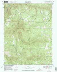
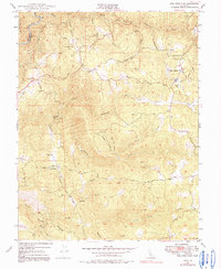
Rail Road Flat serves as the focal point of this mid-century survey of the California Gold Country, where the terrain is defined by the deep incisions of the North Fork Mokelumne River and its sister forks. The landscape is a network of steep gulches and ridges, punctuated by evidence of hard-rock mining history at sites like the Wolverine Mine and Jeff Davis Mine. Settlement patterns follow the topography, with small communities like Glencoe and Independence established along the winding paths of Whiskey Slide Road and the extensive Ponderosa Way. The presence of the Victory Dude Ranch and numerous water features such as Clark Res and Jack Nelson Creek illustrates a mid-20th-century shift toward recreation and water management in a region once dominated by the search for gold. This survey effectively captures the transition of the Mother Lode foothills from an extraction-heavy economy to one defined by smaller residential enclaves and ranching.
Find a feature on this map
39 named features on this map. Tap any name to fly to it.
Don’t see what you’re looking for? This feature index may not catch every label — zoom into the map to look around manually.
Map Details
Editions of this 1948 Rail Road Flat Map
6 editions found
Other maps of this area

1889 · Jackson
USGS Topo · 1:125,000

1891 · Big Trees
USGS Topo · 1:125,000

1892 · Jackson
USGS Topo · 1:125,000

1894 · Big Trees
USGS Topo · 1:125,000

1897 · Jackson
USGS Topo · 1:125,000

1897 · Big Trees
USGS Topo · 1:125,000

1901 · Big Trees
USGS Topo · 1:125,000

1902 · Jackson
USGS Topo · 1:125,000

1945 · San Andreas
USGS Topo · 1:62,500

1947 · San Andreas
USGS Topo · 1:62,500