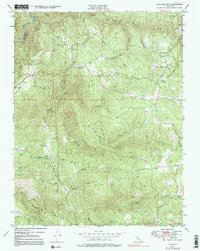
1948 Map of Rail Road Flat
USGS Topo · Published 1991About this map
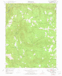
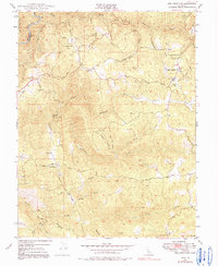
Rail Road Flat and Glencoe serve as the primary hubs in this gold-country landscape, where the geography is defined by the deep incisions of the Middle Fork Mokelumne River and the South Fork Mokelumne River. The mid-century topography reveals a region deeply tied to its extraction history, as evidenced by several workings including the Etna Mine, Wolverine Mine, and the Jeff Davis Mine. In addition to the industrial activity, the map captures local landmarks like Alabama Hill and the recreation-oriented Victory Dude Ranch. The intricate network of drainage is shown through numerous named features like Wet Independence Gulch and Mexican Gulch, illustrating the complex watershed that flows toward the North Fork Calaveras River. This document offers an essential view of Calaveras County's infrastructure and land use just after World War II.
Find a feature on this map
32 named features on this map. Tap any name to fly to it.
Don’t see what you’re looking for? This feature index may not catch every label — zoom into the map to look around manually.
Map Details
Editions of this 1948 Rail Road Flat Map
6 editions found
Other maps of this area

1889 · Jackson
USGS Topo · 1:125,000

1891 · Big Trees
USGS Topo · 1:125,000

1892 · Jackson
USGS Topo · 1:125,000

1894 · Big Trees
USGS Topo · 1:125,000

1897 · Jackson
USGS Topo · 1:125,000

1897 · Big Trees
USGS Topo · 1:125,000

1901 · Big Trees
USGS Topo · 1:125,000

1902 · Jackson
USGS Topo · 1:125,000

1945 · San Andreas
USGS Topo · 1:62,500

1947 · San Andreas
USGS Topo · 1:62,500