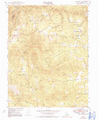
1948 Map of Rail Road Flat
USGS Topo · Published 1991About this map
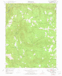
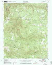
The Middle Fork Mokelumne River and its numerous tributaries carve through the heart of this gold-country landscape, where 1940s land use reflects a transition from intensive mining to ranching and recreation. The settlement of Rail Road Flat serves as a local hub, while smaller communities like Glencoe and the site of Rich Gulch are situated among a network of steep canyons. The concentration of mining activity is evident through named operations such as the Etna Mine, Wolverine Mine, and Jeff Davis Mine, alongside more contemporary developments like the Victory Dude Ranch.
Find a feature on this map
35 named features on this map. Tap any name to fly to it.
Don’t see what you’re looking for? This feature index may not catch every label — zoom into the map to look around manually.
Map Details
Editions of this 1948 Rail Road Flat Map
6 editions found
Other maps of this area

1889 · Jackson
USGS Topo · 1:125,000

1891 · Big Trees
USGS Topo · 1:125,000

1892 · Jackson
USGS Topo · 1:125,000

1894 · Big Trees
USGS Topo · 1:125,000

1897 · Jackson
USGS Topo · 1:125,000

1897 · Big Trees
USGS Topo · 1:125,000

1901 · Big Trees
USGS Topo · 1:125,000

1902 · Jackson
USGS Topo · 1:125,000

1945 · San Andreas
USGS Topo · 1:62,500

1947 · San Andreas
USGS Topo · 1:62,500