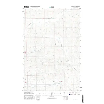
2017 Map of Rainbow Falls
USGS Topo · Published 2017About this map
Meskill serves as a central reference point in this landscape where the Chehalis River winds through the southern reaches, punctuated by the cascades of Rainbow Falls. The terrain is defined by a dense network of drainage systems, with the Lincoln Creek Valley stretching across the north and the sprawling basin of Bunker Creek occupying the central territory. Settlement patterns follow the river and creek bottoms, with namesake roads like Meskill Rd, Lincoln Creek Rd, and Bunker Creek Rd providing access to the fertile lowlands between rising timberlands. The convergence of numerous tributaries, including Prairie Creek and Nicholson Creek, into the larger river system illustrates the historical importance of water for transportation and early industry in this part of Washington.
Find a feature on this map
40 named features on this map. Tap any name to fly to it.
Don’t see what you’re looking for? This feature index may not catch every label — zoom into the map to look around manually.
Map Details
Editions of this 2017 Rainbow Falls Map
This is the sole edition of this map. No revisions or reprints were ever made.
Other maps of this area

1941 · Walville
USGS Topo · 1:62,500

1941 · Meskill
USGS Topo · 1:62,500

1941 · Gate
USGS Topo · 1:62,500

1941 · Ford
USGS Topo · 1:62,500

1953 · Hoquiam
USGS Topo · 1:250,000

1953 · Rochester
USGS Topo · 1:62,500

1953 · Pe Ell
USGS Topo · 1:62,500

1953 · Malone
USGS Topo · 1:62,500

1953 · Adna
USGS Topo · 1:62,500

1957 · Hoquiam
USGS Topo · 1:250,000