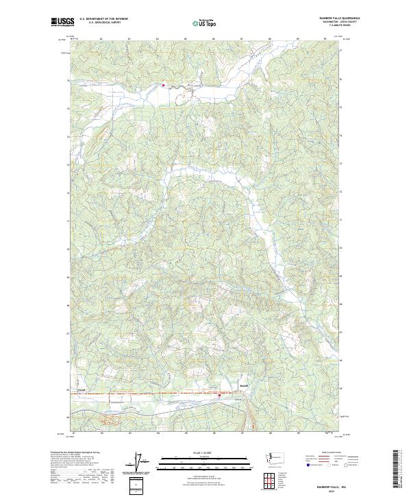
2023 Map of Rainbow Falls
USGS Topo · Published 2023About this map
The Chehalis River winds through the southern portion of this region, shaping the local geography near the settlements of Dryad and Meskill. This landscape is defined by the extensive drainage systems of Lincoln Creek and Bunker Creek, which carve out distinct valleys such as the Lincoln Creek Valley to the north. The area shows a transition from river-bottom lands to more complex terrain, where numerous tributaries like Wildcat Creek, Prairie Creek, and Hatchery Creek converge.
Find a feature on this map
46 named features on this map. Tap any name to fly to it.
Don’t see what you’re looking for? This feature index may not catch every label — zoom into the map to look around manually.
Map Details
Editions of this 2023 Rainbow Falls Map
This is the sole edition of this map. No revisions or reprints were ever made.
Other maps of this area

1941 · Walville
USGS Topo · 1:62,500

1941 · Meskill
USGS Topo · 1:62,500

1941 · Gate
USGS Topo · 1:62,500

1941 · Ford
USGS Topo · 1:62,500

1953 · Hoquiam
USGS Topo · 1:250,000

1953 · Rochester
USGS Topo · 1:62,500

1953 · Pe Ell
USGS Topo · 1:62,500

1953 · Malone
USGS Topo · 1:62,500

1953 · Adna
USGS Topo · 1:62,500

1957 · Hoquiam
USGS Topo · 1:250,000