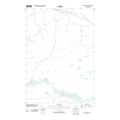
2010 Map of Rainbow Falls
USGS Topo · Published 2010About this map
Parishville sits at the northern edge of this northern New York landscape, where the West Branch Saint Regis River flows through a series of small settlements and family-named landmarks like Whites Hill and French Hill. The area is defined by its complex hydrology, with the southern portion of the quadrangle dominated by hydroelectric and water management features along the Raquette River. This includes the Rainbow Falls Reservoir, Five Falls Reservoir, and the South Colton Reservoir, which reflect the 20th-century development of regional power and water resources.
Find a feature on this map
42 named features on this map. Tap any name to fly to it.
Don’t see what you’re looking for? This feature index may not catch every label — zoom into the map to look around manually.
Map Details
Editions of this 2010 Rainbow Falls Map
This is the sole edition of this map. No revisions or reprints were ever made.
Other maps of this area

1908 · Potsdam
USGS Topo · 1:62,500

1919 · Nicholville
USGS Topo · 1:62,500

1920 · Childwold
USGS Topo · 1:62,500

1921 · Childwold
USGS Topo · 1:48,000

1921 · Nicholville
USGS Topo · 1:62,500

1921 · Stark
USGS Topo · 1:62,500

1922 · Childwold
USGS Topo · 1:62,500

1923 · Stark
USGS Topo · 1:62,500

1940 · Stark
USGS Topo · 1:62,500

1942 · Long Bow
USGS Topo · 1:24,000