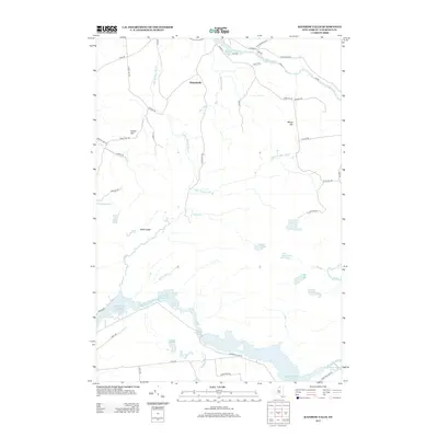
2013 Map of Rainbow Falls
USGS Topo · Published 2013About this map
The Raquette River dominates the southern landscape of this Saint Lawrence County survey, revealing a complex chain of managed water systems including Rainbow Falls Reservoir, Five Falls Reservoir, and South Colton Reservoir. The river's path is marked by features such as Morgan Rapids and the Blake Falls Reservoir further east. This network of reservoirs and dams illustrates the significant industrial and hydroelectric development along the Raquette during this era.
Find a feature on this map
53 named features on this map. Tap any name to fly to it.
Don’t see what you’re looking for? This feature index may not catch every label — zoom into the map to look around manually.
Map Details
Editions of this 2013 Rainbow Falls Map
This is the sole edition of this map. No revisions or reprints were ever made.
Other maps of this area

1908 · Potsdam
USGS Topo · 1:62,500

1919 · Nicholville
USGS Topo · 1:62,500

1920 · Childwold
USGS Topo · 1:62,500

1921 · Childwold
USGS Topo · 1:48,000

1921 · Nicholville
USGS Topo · 1:62,500

1921 · Stark
USGS Topo · 1:62,500

1922 · Childwold
USGS Topo · 1:62,500

1923 · Stark
USGS Topo · 1:62,500

1940 · Stark
USGS Topo · 1:62,500

1942 · Long Bow
USGS Topo · 1:24,000