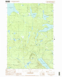
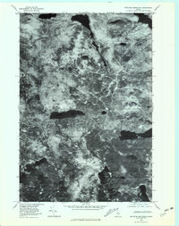
1988 Map of Rainbow Lake West
USGS Topo · Published 1988About this map
The Appalachian National Scenic Trail winds through the heart of this Maine wilderness, skirting the southern shore of Rainbow Lake and climbing toward Nesuntabunt Mtn. This landscape is defined by its complex network of waterways, where large bodies like Chesuncook Lake and Nahmakanta Lake are connected by seasonal drainages such as Rainbow Stream and Pollywog Stream.
Find a feature on this map
41 named features on this map. Tap any name to fly to it.
Don’t see what you’re looking for? This feature index may not catch every label — zoom into the map to look around manually.
Map Details
Editions of this 1988 Rainbow Lake West Map
2 editions found
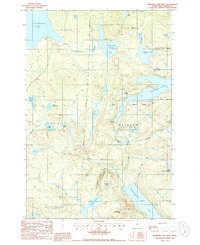
Other maps of this area

1952 · Jo-Mary Mountain
USGS Topo · 1:62,500

1952 · First Roach Pond
USGS Topo · 1:62,500

1954 · Grant Farm
USGS Topo · 1:62,500

1954 · Harrington Lake
USGS Topo · 1:62,500

1954 · Millinocket
USGS Topo · 1:250,000

1958 · Millinocket
USGS Topo · 1:250,000

1960 · Millinocket
USGS Topo · 1:250,000
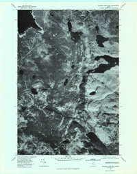
1978 · Rainbow Lake West
USGS Topo · 1:24,000
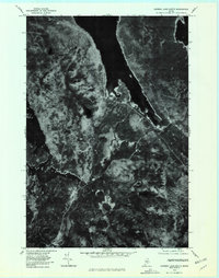
1978 · Caribou Lake South
USGS Topo · 1:24,000
1978 · Wadleigh Mountain
USGS Topo · 1:24,000