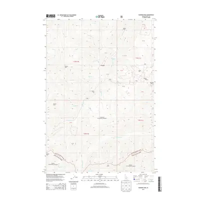
2013 Map of Rainbow Peak
USGS Topo · Published 2013About this map
The Twentieth Century Mill stands as a testament to the industrial history of this mountainous region of Idaho, situated at the headwaters of Threemile Cr. This high-altitude landscape is dominated by notable summits such as Rainbow Peak, Thunder Mtn, and Lightning Peak, which define the rugged divide between the drainage of Monumental Cr and the waters of Big Cottonwood Cr. The survey highlights a terrain where mining and exploration left their mark on landforms like Gold Ridge and Dewey Hill.
Find a feature on this map
37 named features on this map. Tap any name to fly to it.
Don’t see what you’re looking for? This feature index may not catch every label — zoom into the map to look around manually.
Map Details
Editions of this 2013 Rainbow Peak Map
This is the sole edition of this map. No revisions or reprints were ever made.
Other maps of this area

1937 · Yellow Pine
USGS Topo · 1:48,000

1937 · Big Creek
USGS Topo · 1:48,000

1942 · Big Creek
USGS Topo · 1:62,500

1943 · Yellow Pine
USGS Topo · 1:62,500

1956 · Elk City
USGS Topo · 1:250,000

1957 · Challis
USGS Topo · 1:250,000

1960 · Elk City
USGS Topo · 1:250,000

1960 · Challis
USGS Topo · 1:250,000

1963 · Challis
USGS Topo · 1:250,000

1969 · Edwardsburg
USGS Topo · 1:24,000