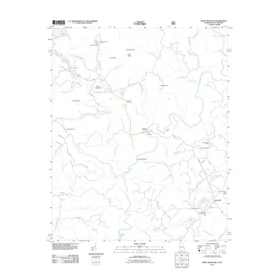
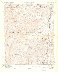
2011 Map of Rainy Mountain
USGS Topo · Published 2011About this map
Longcreek serves as a central hub in this corner of the Blue Ridge foothills, where the Chattooga River forms a winding natural boundary between Georgia and South Carolina. The landscape is defined by its agricultural legacy and mountain topography, evidenced by the presence of Brysons Apple Orchard, Round Mountain Apple Orchard, and Chattooga Belle Farm. These large holdings sit alongside older family landmarks and community centers such as Wolf Creek Church and the Duncan Cemetery.
Find a feature on this map
82 named features on this map. Tap any name to fly to it.
Don’t see what you’re looking for? This feature index may not catch every label — zoom into the map to look around manually.
Map Details
Editions of this 2011 Rainy Mountain Map
This is the sole edition of this map. No revisions or reprints were ever made.
Other maps of this area

1886 · Walhalla
USGS Topo · 1:125,000

1892 · Walhalla
USGS Topo · 1:125,000

1896 · Walhalla
USGS Topo · 1:125,000

1935 · Dillard
USGS Topo · 1:24,000

1935 · Rabun Bald
USGS Topo · 1:24,000
1946 · Dillard
USGS Topo · 1:24,000
1946 · Rabun Bald
USGS Topo · 1:24,000
1947 · Rabun Bald
USGS Topo · 1:24,000
1947 · Dillard
USGS Topo · 1:24,000

1953 · Tallulah Falls
USGS Topo · 1:24,000