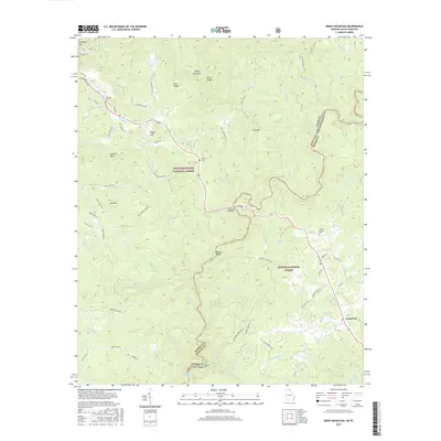
2017 Map of Rainy Mountain
USGS Topo · Published 2017About this map
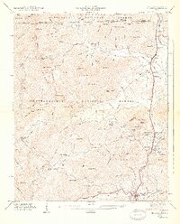
The Chattooga River defines the state line between Georgia and South Carolina, carving through a landscape dominated by the Chattoochee National Forest and Sumter National Forest. This 2017 survey reveals a terrain defined by significant peaks such as Rainy Mountain and Duncan Bald, alongside the complex drainage networks of Stekoa Cr and Long Cr. The map captures the transitional space where mountain ridges meet the river valley, with specific landmarks like Woodall Shoals and Sids Falls marking the river's descent.
Find a feature on this map
89 named features on this map. Tap any name to fly to it.
Don’t see what you’re looking for? This feature index may not catch every label — zoom into the map to look around manually.
Map Details
Editions of this 2017 Rainy Mountain Map
This is the sole edition of this map. No revisions or reprints were ever made.
Other maps of this area

1886 · Walhalla
USGS Topo · 1:125,000

1892 · Walhalla
USGS Topo · 1:125,000

1896 · Walhalla
USGS Topo · 1:125,000

1935 · Dillard
USGS Topo · 1:24,000

1935 · Rabun Bald
USGS Topo · 1:24,000
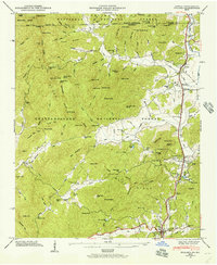
1946 · Dillard
USGS Topo · 1:24,000
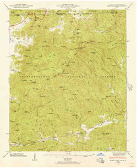
1946 · Rabun Bald
USGS Topo · 1:24,000
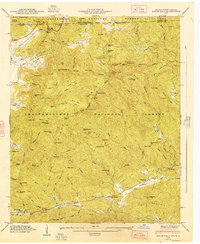
1947 · Rabun Bald
USGS Topo · 1:24,000
1947 · Dillard
USGS Topo · 1:24,000

1953 · Tallulah Falls
USGS Topo · 1:24,000