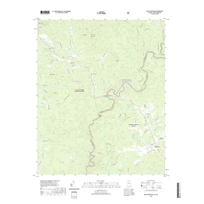
2020 Map of Rainy Mountain
USGS Topo · Published 2020About this map
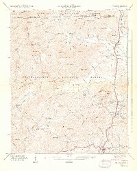
The Chattooga Wild and Scenic River forms the central spine of this landscape, acting as the serpentine border between Georgia and South Carolina. This modern topographic study reveals a rugged corridor of ridges and peaks, including Rainy Mtn and Lion Mtn, largely contained within the protected lands of the Chattoochee National Forest and Sumter National Forest. The map documents a network of recreational and historic paths, notably the Bartram Trail and the Opposum Creek Trail, which navigate the steep descent toward the riverbanks.
Find a feature on this map
94 named features on this map. Tap any name to fly to it.
Don’t see what you’re looking for? This feature index may not catch every label — zoom into the map to look around manually.
Map Details
Editions of this 2020 Rainy Mountain Map
This is the sole edition of this map. No revisions or reprints were ever made.
Other maps of this area

1886 · Walhalla
USGS Topo · 1:125,000

1892 · Walhalla
USGS Topo · 1:125,000

1896 · Walhalla
USGS Topo · 1:125,000

1935 · Dillard
USGS Topo · 1:24,000

1935 · Rabun Bald
USGS Topo · 1:24,000
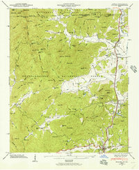
1946 · Dillard
USGS Topo · 1:24,000
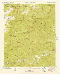
1946 · Rabun Bald
USGS Topo · 1:24,000
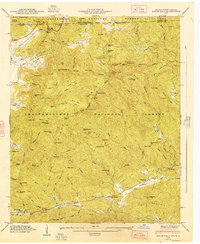
1947 · Rabun Bald
USGS Topo · 1:24,000
1947 · Dillard
USGS Topo · 1:24,000

1953 · Tallulah Falls
USGS Topo · 1:24,000