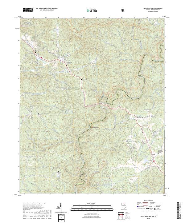
2024 Map of Rainy Mountain
USGS Topo · Published 2024About this map
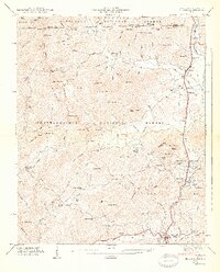
The Chattooga River forms a jagged border between Georgia and South Carolina, anchoring a landscape where the Sumter National Forest and Chattohoochee National Forest meet. This topography is defined by significant ridges and peaks, including Rainy Mtn and Lion Mtn, with the river carving through landmark points such as Woodall Shoals. The settlement of Longcreek serves as a local hub near the eastern edge, while the surrounding hills are dotted with foundational community sites. Genealogy researchers can find several historic burial grounds, such as the Chechero Baptist Church Cem and Wolf Creek Church Cem, which are tied to the small mountain congregations that have long occupied these hollows. The presence of the Bartram Trl and various connector trails highlights the area's transition from early travel routes to modern conservation as part of the Chattooga Wild and Scenic River corridor.
Find a feature on this map
121 named features on this map. Tap any name to fly to it.
Don’t see what you’re looking for? This feature index may not catch every label — zoom into the map to look around manually.
Map Details
Editions of this 2024 Rainy Mountain Map
This is the sole edition of this map. No revisions or reprints were ever made.
Other maps of this area

1886 · Walhalla
USGS Topo · 1:125,000

1892 · Walhalla
USGS Topo · 1:125,000

1896 · Walhalla
USGS Topo · 1:125,000

1935 · Dillard
USGS Topo · 1:24,000

1935 · Rabun Bald
USGS Topo · 1:24,000
1946 · Dillard
USGS Topo · 1:24,000
1946 · Rabun Bald
USGS Topo · 1:24,000
1947 · Rabun Bald
USGS Topo · 1:24,000
1947 · Dillard
USGS Topo · 1:24,000

1953 · Tallulah Falls
USGS Topo · 1:24,000