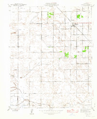
1947 Map of Raisin
USGS Topo · Published 1947About this map
Raisin City Raisin P O serves as the primary hub of this Fresno County landscape, which was meticulously updated by the State of California just after World War II. The map reveals a grid-based agricultural environment defined by a dense network of windmills and irrigation infrastructure. The lower portion of the sheet is marked by the Liberty Millrace, a key water feature in this arid Central Valley region. The layout of the territory is strictly organized along cardinal directions, with named thoroughfares like South Avenue and Manning Avenue framing the sectioned land. This period of the late 1940s captures the area's transition into a high-production viticulture and farming district, where the reliance on local water sources is evidenced by the numerous windmill labels scattered throughout the plains.
Find a feature on this map
36 named features on this map. Tap any name to fly to it.
Don’t see what you’re looking for? This feature index may not catch every label — zoom into the map to look around manually.
Map Details
Editions of this 1947 Raisin Map
2 editions found
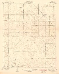
Other maps of this area

1912 · Coalinga
USGS Topo · 1:125,000

1923 · Kearney Park
USGS Topo · 1:31,680

1923 · Fresno
USGS Topo · 1:31,680

1924 · Riverdale
USGS Topo · 1:31,680

1925 · Helm
USGS Topo · 1:31,680

1925 · Raisin
USGS Topo · 1:31,680

1925 · Caruthers
USGS Topo · 1:31,680

1927 · Burrel
USGS Topo · 1:31,680

1927 · Riverdale
USGS Topo · 1:31,680

1931 · Wheatville
USGS Topo · 1:31,680