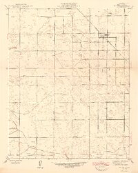
1947 Map of Raisin
USGS Topo · Published 1947About this map
Raisin City serves as the primary hub of this agricultural landscape in Fresno County, centered around its post office, Raisin P O. The 1946 culture revision reveals a highly structured grid of roads and an extensive network of irrigation support. A signature element of the terrain is the abundance of individual water-pumping sites, with dozens of Windmill labels scattered across the valley floor to tap into the groundwater for local farms.
Find a feature on this map
32 named features on this map. Tap any name to fly to it.
Don’t see what you’re looking for? This feature index may not catch every label — zoom into the map to look around manually.
Map Details
Editions of this 1947 Raisin Map
2 editions found
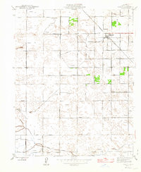
Other maps of this area

1912 · Coalinga
USGS Topo · 1:125,000

1923 · Kearney Park
USGS Topo · 1:31,680

1923 · Fresno
USGS Topo · 1:31,680

1924 · Riverdale
USGS Topo · 1:31,680

1925 · Helm
USGS Topo · 1:31,680

1925 · Raisin
USGS Topo · 1:31,680

1925 · Caruthers
USGS Topo · 1:31,680

1927 · Burrel
USGS Topo · 1:31,680

1927 · Riverdale
USGS Topo · 1:31,680

1931 · Wheatville
USGS Topo · 1:31,680