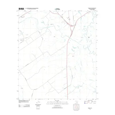
2013 Map of Raisin
USGS Topo · Published 2013About this map
Coleto Cr and the Guadalupe River dominate this coastal prairie landscape of Victoria County, where the 2013 landscape reveals a complex network of bayous and wetlands. Small family and community landmarks like Reeves Cem, Joshua Cem, and McDonald Cem are preserved among the ranching and energy-producing lands. The presence of the Coleto Creek Oil Field and Cologne Oil Field indicates the subsurface importance of the region, while the settlement of Raisin sits in the northwest near Boggy Cr. The eastern portion of the map is defined by meandering waterways including McDonough Bayou and Black Bayou, which feed into the larger river system. A notable archaeological or historical landmark, the Indian Mound, is situated near the riverbanks north of Sand Bayou, highlighting a long history of human activity in this flood-prone environment.
Find a feature on this map
54 named features on this map. Tap any name to fly to it.
Don’t see what you’re looking for? This feature index may not catch every label — zoom into the map to look around manually.
Map Details
Editions of this 2013 Raisin Map
This is the sole edition of this map. No revisions or reprints were ever made.
Other maps of this area

1951 · Bloomington
USGS Topo · 1:24,000

1952 · Bloomington SW
USGS Topo · 1:24,000

1952 · Victoria East
USGS Topo · 1:24,000

1953 · Beeville
USGS Topo · 1:250,000

1956 · Beeville
USGS Topo · 1:250,000

1960 · Beeville
USGS Topo · 1:250,000

1962 · Fannin
USGS Topo · 1:24,000

1962 · Lott Lake
USGS Topo · 1:24,000

1962 · McFaddin
USGS Topo · 1:24,000

1962 · Raisin
USGS Topo · 1:24,000