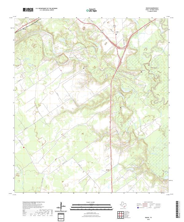
2022 Map of Raisin
USGS Topo · Published 2022About this map
The settlement of Raisin sits at the northwestern edge of this modern survey, where the Texas coastal plain is defined by an intricate network of waterways leading toward the Gulf. The Guadalupe River meanders along the eastern border, surrounded by a complex system of sloughs and backwaters including Blue Bayou, Sanson Bayou, and McDonough Bayou. This riverine landscape is dotted with numerous small lakes such as Warden Lake and Bass Lake, while the presence of the Indian Mound near the river suggests the deep history of human activity in this river basin.
Find a feature on this map
43 named features on this map. Tap any name to fly to it.
Don’t see what you’re looking for? This feature index may not catch every label — zoom into the map to look around manually.
Map Details
Editions of this 2022 Raisin Map
This is the sole edition of this map. No revisions or reprints were ever made.
Other maps of this area

1951 · Bloomington
USGS Topo · 1:24,000

1952 · Bloomington SW
USGS Topo · 1:24,000

1952 · Victoria East
USGS Topo · 1:24,000

1953 · Beeville
USGS Topo · 1:250,000

1956 · Beeville
USGS Topo · 1:250,000

1960 · Beeville
USGS Topo · 1:250,000

1962 · Fannin
USGS Topo · 1:24,000

1962 · Lott Lake
USGS Topo · 1:24,000

1962 · McFaddin
USGS Topo · 1:24,000

1962 · Raisin
USGS Topo · 1:24,000