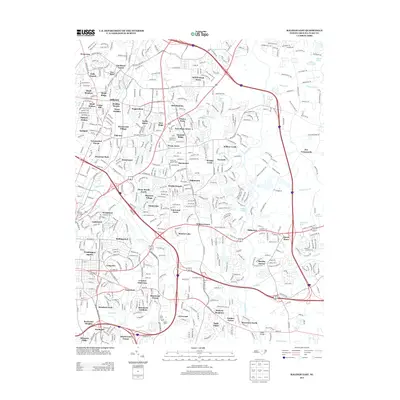
2013 Map of Raleigh East
USGS Topo · Published 2013About this map
The Neuse River carves a path through the eastern reaches of this Raleigh landscape, serving as a primary geographic anchor for a series of suburban developments and natural features. Established residential areas like Millbrook and New Hope represent the continuing growth of the state capital, while smaller enclaves such as Will-O-Dean Acres and Hearthstone provide distinct neighborhood identities. The map reflects a complex network of tributaries, including Crabtree Cr and Walnut Cr, which drain into the main river channel.
Find a feature on this map
86 named features on this map. Tap any name to fly to it.
Don’t see what you’re looking for? This feature index may not catch every label — zoom into the map to look around manually.
Map Details
Editions of this 2013 Raleigh East Map
This is the sole edition of this map. No revisions or reprints were ever made.
Other maps of this area

1943 · Raleigh
USGS Topo · 1:62,500

1951 · Raleigh
USGS Topo · 1:62,500

1953 · Raleigh
USGS Topo · 1:250,000

1954 · Raleigh
USGS Topo · 1:250,000

1964 · Lake Wheeler
USGS Topo · 1:24,000

1964 · Garner
USGS Topo · 1:24,000

1964 · Selma
USGS Topo · 1:62,500

1964 · Clayton
USGS Topo · 1:24,000

1964 · Garner
USGS Topo · 1:62,500

1967 · Knightdale
USGS Topo · 1:24,000