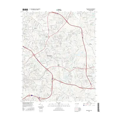
2016 Map of Raleigh East
USGS Topo · Published 2016About this map
The Neuse River corridor and its eastern tributaries define the landscape of eastern Wake County during this mid-2010s period of expansion. Centered on the eastern reaches of Raleigh, the map documents the transition from urban core to suburban nodes like Knightdale and Millbrook. Historic institutional presence is anchored by Saint Augustines Coll and the expansive Oakwood Cem near the city center.
Find a feature on this map
344 named features on this map. Tap any name to fly to it.
Don’t see what you’re looking for? This feature index may not catch every label — zoom into the map to look around manually.
Map Details
Editions of this 2016 Raleigh East Map
This is the sole edition of this map. No revisions or reprints were ever made.
Other maps of this area

1943 · Raleigh
USGS Topo · 1:62,500

1951 · Raleigh
USGS Topo · 1:62,500

1953 · Raleigh
USGS Topo · 1:250,000

1954 · Raleigh
USGS Topo · 1:250,000

1964 · Lake Wheeler
USGS Topo · 1:24,000

1964 · Garner
USGS Topo · 1:24,000

1964 · Selma
USGS Topo · 1:62,500

1964 · Clayton
USGS Topo · 1:24,000

1964 · Garner
USGS Topo · 1:62,500

1967 · Knightdale
USGS Topo · 1:24,000