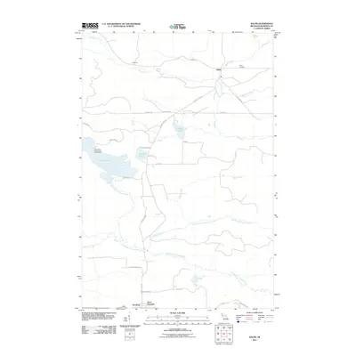
2011 Map of Ralph
USGS Topo · Published 2011About this map
Ralph and the smaller settlements of Henderson and Theodore define the human landscape of this Dickinson County terrain in the Upper Peninsula. The Ford River meanders through the northern section, passing near the Ralph Cemetery, while the southern reaches are dominated by the drainage of the East Branch Sturgeon River. This area is defined by its recreation and water resources, featuring Norway Lake, Pickerel Lake, and the expansive Gene Pond. To the west, the Genes Pond State Forest Campground provides a focal point for backcountry access, while the elevation of Felch Mountain stands as a prominent topographical landmark in the south. The network of local roads, including County Hwy-581 and Norway Lake Rd, connects these scattered outposts through a landscape etched by numerous waterways like Skunk Creek and Hayes Creek.
Find a feature on this map
36 named features on this map. Tap any name to fly to it.
Don’t see what you’re looking for? This feature index may not catch every label — zoom into the map to look around manually.
Map Details
Editions of this 2011 Ralph Map
This is the sole edition of this map. No revisions or reprints were ever made.
Other maps of this area

1954 · Escanaba
USGS Topo · 1:250,000

1955 · Ralph NW
USGS Topo · 1:24,000

1955 · Ralph NE
USGS Topo · 1:24,000

1955 · Norway
USGS Topo · 1:62,500

1955 · Ralph
USGS Topo · 1:62,500

1956 · Foster City
USGS Topo · 1:62,500

1957 · Escanaba
USGS Topo · 1:250,000

1957 · Northland
USGS Topo · 1:62,500

1958 · Escanaba
USGS Topo · 1:250,000

1958 · Marquette
USGS Topo · 1:250,000