
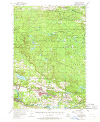
1955 Map of Norway
USGS Topo · Published 1957About this map
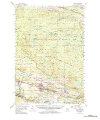
Mining operations in the Menominee Range dominate this mid-century survey, revealing a landscape defined by industry and forest. The southern corridor along the Chicago and North Western rail line is densely packed with active and inactive sites, including the Groveland Mine, Aragon Mine, and Appleton Mine. Settlements such as Norway, Vulcan, and Loretto serve as the residential hubs for this industrial belt, where the Norway Sch and local cemeteries like St Anthony Cem mark the established community life of Dickinson County.
Find a feature on this map
86 named features on this map. Tap any name to fly to it.
Don’t see what you’re looking for? This feature index may not catch every label — zoom into the map to look around manually.
Map Details
Editions of this 1955 Norway Map
3 editions found
Other maps of this area

1899 · Sagola
USGS Topo · 1:62,500

1939 · Pembine
USGS Topo · 1:48,000

1939 · Dunbar
USGS Topo · 1:48,000

1939 · Iron Mountain
USGS Topo · 1:48,000

1941 · Dunbar
USGS Topo · 1:48,000

1941 · Iron Mountain
USGS Topo · 1:48,000

1947 · Pembine
USGS Topo · 1:48,000

1947 · Dunbar
USGS Topo · 1:48,000

1947 · Iron Mountain
USGS Topo · 1:48,000

1954 · Iron Mountain
USGS Topo · 1:250,000