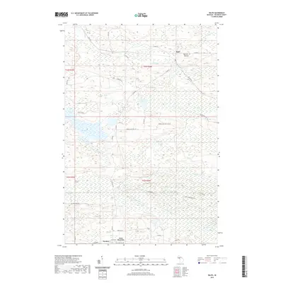
2019 Map of Ralph
USGS Topo · Published 2019About this map
Ralph serves as a central point of reference in this Dickinson County landscape, situated near the confluence of the Ford River and Hayes Cr. The area is defined by a dense network of waterways and wetlands, including the E Br Sturgeon River, Skunk Cr, and Sixmile Cr. Significant water bodies like Gene Pond and Pickerel Lake punctuate the terrain, which rises to the south at Felch Mountain. The presence of the Ralph Cem Whispering Pines Cem offers a specific point of interest for genealogists tracing local families in West Branch Township.
Find a feature on this map
46 named features on this map. Tap any name to fly to it.
Don’t see what you’re looking for? This feature index may not catch every label — zoom into the map to look around manually.
Map Details
Editions of this 2019 Ralph Map
This is the sole edition of this map. No revisions or reprints were ever made.
Other maps of this area

1954 · Escanaba
USGS Topo · 1:250,000

1955 · Ralph NW
USGS Topo · 1:24,000

1955 · Ralph NE
USGS Topo · 1:24,000

1955 · Norway
USGS Topo · 1:62,500

1955 · Ralph
USGS Topo · 1:62,500

1956 · Foster City
USGS Topo · 1:62,500

1957 · Escanaba
USGS Topo · 1:250,000

1957 · Northland
USGS Topo · 1:62,500

1958 · Escanaba
USGS Topo · 1:250,000

1958 · Marquette
USGS Topo · 1:250,000