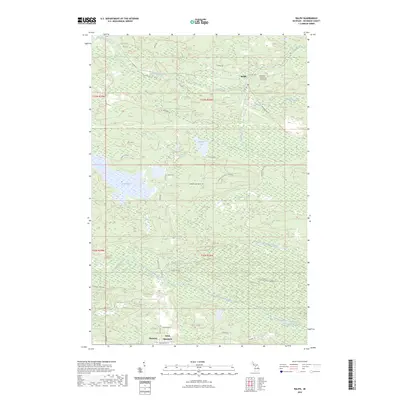
2023 Map of Ralph
USGS Topo · Published 2023About this map
Ralph serves as the primary settlement in this portion of Dickinson County, situated near the upper reaches of the Ford River. The landscape is defined by its complex hydrology, featuring numerous wetlands and the winding paths of Skunk Creek and Sixmile Creek. To the south, the terrain rises toward Felch Mountain, where the small community of Theodore is located. This area is characterized by a dense network of forest roads and truck trails, such as the Norway Lake Truck Trl and White Post Road, which suggest a long history of timber management and rural accessibility.
Find a feature on this map
42 named features on this map. Tap any name to fly to it.
Don’t see what you’re looking for? This feature index may not catch every label — zoom into the map to look around manually.
Map Details
Editions of this 2023 Ralph Map
This is the sole edition of this map. No revisions or reprints were ever made.
Other maps of this area

1954 · Escanaba
USGS Topo · 1:250,000

1955 · Ralph NW
USGS Topo · 1:24,000

1955 · Ralph NE
USGS Topo · 1:24,000

1955 · Norway
USGS Topo · 1:62,500

1955 · Ralph
USGS Topo · 1:62,500

1956 · Foster City
USGS Topo · 1:62,500

1957 · Escanaba
USGS Topo · 1:250,000

1957 · Northland
USGS Topo · 1:62,500

1958 · Escanaba
USGS Topo · 1:250,000

1958 · Marquette
USGS Topo · 1:250,000