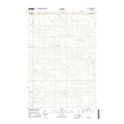
2017 Map of Ralph NE
USGS Topo · Published 2017About this map
The boundary between Marquette County and Dickinson County divides this upper Michigan landscape, where a network of forest roads and watercourses defines the Upper Peninsula interior. Significant water bodies like O'Neil Lake, Van Derlin Lake, and Mud Lake are connected by a web of small streams including Schwartz Cr and McGregor Cr. This terrain is further shaped by the W Br Escanaba River in the northeast and the branching headwaters of the N Br Ford River and W Br Ford River to the south. The road network, comprising routes like Lake Oneil Rd and Co Rd 581, facilitates access through these wetlands and woods. The inclusion of the W Branch Pathway indicates the area's use for recreational transit through the dense local hydrography.
Find a feature on this map
31 named features on this map. Tap any name to fly to it.
Don’t see what you’re looking for? This feature index may not catch every label — zoom into the map to look around manually.
Map Details
Editions of this 2017 Ralph NE Map
This is the sole edition of this map. No revisions or reprints were ever made.
Other maps of this area

1952 · Ishpeming
USGS Topo · 1:62,500

1955 · Ralph NW
USGS Topo · 1:24,000

1955 · Ralph NE
USGS Topo · 1:24,000

1955 · Republic
USGS Topo · 1:62,500

1955 · Republic SW
USGS Topo · 1:24,000

1955 · Ralph
USGS Topo · 1:62,500

1957 · Northland
USGS Topo · 1:62,500

1958 · Marquette
USGS Topo · 1:250,000

1960 · Marquette
USGS Topo · 1:250,000

1961 · Marquette
USGS Topo · 1:250,000