
1955 Map of Ralph NW
USGS Topo · Published 1956About this map
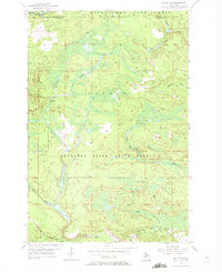
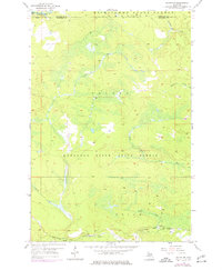
Michigamme State Forest and Sturgeon River State Forest dominate this Upper Peninsula landscape, where the border between Marquette and Dickinson counties meets. This mid-1950s terrain is defined by its complex drainage network, anchored by the Michigamme River in the northwest and the winding course of the Ford River in the south. The southern edge of the map shows the industrial fingerprint of the Escanaba and Lake Superior railroad corridor, which follows the river valleys. Smaller tributaries like Schwartz Creek, Twomile Creek, and McGregor Creek carve through the heavily forested township of Sagola, indicating a region shaped by timber and wilderness. The detailed topography illustrates the lowlands and marshes surrounding Turner Creek and Weber Creek, providing a clear record of the watershed before modern infrastructure changes.
Find a feature on this map
14 named features on this map. Tap any name to fly to it.
Don’t see what you’re looking for? This feature index may not catch every label — zoom into the map to look around manually.
Map Details
Editions of this 1955 Ralph NW Map
3 editions found
Other maps of this area

1899 · Sagola
USGS Topo · 1:62,500

1899 · Witbeck
USGS Topo · 1:62,500

1955 · Witch Lake
USGS Topo · 1:24,000

1955 · Ralph NE
USGS Topo · 1:24,000

1955 · Republic
USGS Topo · 1:62,500

1955 · Witch Lake
USGS Topo · 1:62,500

1955 · Republic SW
USGS Topo · 1:24,000

1955 · Ralph
USGS Topo · 1:62,500
1955 · Channing
USGS Topo · 1:24,000
1956 · Sagola
USGS Topo · 1:24,000