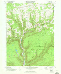
1969 Map of Ralston
USGS Topo · Published 1972About this map
Lycoming Creek carves a deep valley through the high plateaus of north-central Pennsylvania, serving as the primary corridor for both the Penn Central railroad and a network of small mountain settlements. This 1969 survey captures the industrial and natural geography of the region, where the steep slopes of Sullivan Mountain and Pickenville Mtn overlook narrow valley floors. The town of Ralston serves as a focal point at the base of the mountains, while the surrounding Tiadaghton State Forest is marked by remnant Strip Mine sites and a web of trails such as the Crandalltown Trail.
Find a feature on this map
47 named features on this map. Tap any name to fly to it.
Don’t see what you’re looking for? This feature index may not catch every label — zoom into the map to look around manually.
Map Details
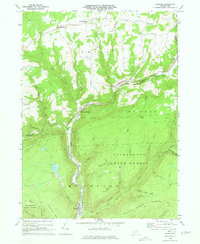
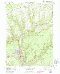
Editions of this 1969 Ralston Map
3 editions found
Other maps of this area

1921 · Trout Run
USGS Topo · 1:62,500

1923 · Trout Run
USGS Topo · 1:62,500

1925 · Blossburg
USGS Topo · 1:62,500

1927 · Blossburg
USGS Topo · 1:62,500

1930 · Warrensville
USGS Topo · 1:62,500

1934 · Warrensville
USGS Topo · 1:62,500

1942 · Canton
USGS Topo · 1:62,500

1944 · Blossburg
USGS Topo · 1:62,500

1944 · Trout Run
USGS Topo · 1:62,500

1944 · Canton
USGS Topo · 1:62,500
Featured Places
- Leolyn, McNett Township
- Union Township, PA
- Canton Township, PA
- Union Center, Union Township
- Roaring Branch, Union Township