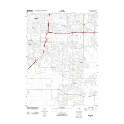
2011 Map of Ralston
USGS Topo · Published 2011About this map
Papillion and La Vista anchor the southern half of this landscape, showing the suburban expansion south of Omaha in the early 21st century. The map reveals a dense network of residential subdivisions and local services, including several post offices like the West Omaha Post Office Station and Millard Post Office Branch. The area is notably green, punctuated by numerous recreational spaces such as Applewood Golf Course, Tara Hills Golf Course, and Horsemens Park.
Find a feature on this map
89 named features on this map. Tap any name to fly to it.
Don’t see what you’re looking for? This feature index may not catch every label — zoom into the map to look around manually.
Map Details
Editions of this 2011 Ralston Map
This is the sole edition of this map. No revisions or reprints were ever made.
Other maps of this area

1893 · Omaha
USGS Topo · 1:62,500

1893 · Fremont
USGS Topo · 1:125,000

1896 · Fremont
USGS Topo · 1:125,000

1954 · Omaha
USGS Topo · 1:250,000

1955 · Fremont
USGS Topo · 1:250,000

1956 · Gretna
USGS Topo · 1:24,000

1956 · Cedar Creek
USGS Topo · 1:24,000

1956 · Ralston
USGS Topo · 1:24,000

1956 · Springfield
USGS Topo · 1:24,000

1956 · Irvington
USGS Topo · 1:24,000