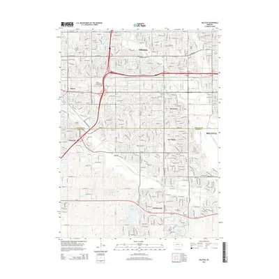
2014 Map of Ralston
USGS Topo · Published 2014About this map
Omaha's southwestern suburban expansion into Sarpy County is thoroughly documented in this detailed 2014 study. The landscape is defined by the convergence of several major municipalities, including Ralston, La Vista, Papillion, and Bellevue, which form a continuous residential and commercial corridor. Significant educational and infrastructure markers like the Vatterott College Spring Valley Campus and Millard Airport sit amidst a complex network of suburban developments.
Find a feature on this map
46 named features on this map. Tap any name to fly to it.
Don’t see what you’re looking for? This feature index may not catch every label — zoom into the map to look around manually.
Map Details
Editions of this 2014 Ralston Map
This is the sole edition of this map. No revisions or reprints were ever made.
Other maps of this area

1893 · Omaha
USGS Topo · 1:62,500

1893 · Fremont
USGS Topo · 1:125,000

1896 · Fremont
USGS Topo · 1:125,000

1954 · Omaha
USGS Topo · 1:250,000

1955 · Fremont
USGS Topo · 1:250,000

1956 · Gretna
USGS Topo · 1:24,000

1956 · Cedar Creek
USGS Topo · 1:24,000

1956 · Ralston
USGS Topo · 1:24,000

1956 · Springfield
USGS Topo · 1:24,000

1956 · Irvington
USGS Topo · 1:24,000