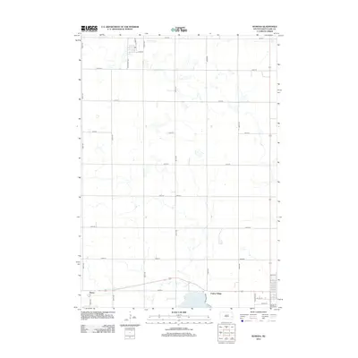
2012 Map of Ramona
USGS Topo · Published 2012About this map
Lake Herman and its surrounding wetlands anchor the southern landscape of this Lake County region, where the prairie transitions into managed farm plots and a strictly gridded road system. The small settlement of Junius is clearly marked at a crossroads along the southern edge, featuring a Po that serves as a focal point for the surrounding rural community. To the east, Prairie Village sits near the intersection of Territorial Rd and Co Hwy-38, reflecting the area's organized layout and early transportation routes. In the northern reaches, Dooley Slough remains a significant natural feature amidst the section lines, while Railway St suggests the historical importance of rail-oriented development in the township's early planning.
Find a feature on this map
31 named features on this map. Tap any name to fly to it.
Don’t see what you’re looking for? This feature index may not catch every label — zoom into the map to look around manually.
Map Details
Editions of this 2012 Ramona Map
This is the sole edition of this map. No revisions or reprints were ever made.
Other maps of this area

1953 · Watertown
USGS Topo · 1:250,000

1955 · Sioux Falls
USGS Topo · 1:250,000

1958 · Sioux Falls
USGS Topo · 1:250,000

1958 · Watertown
USGS Topo · 1:250,000

1968 · Lake Madison
USGS Topo · 1:24,000

1968 · Ramona
USGS Topo · 1:24,000

1968 · Madison
USGS Topo · 1:24,000

1968 · Sinai
USGS Topo · 1:24,000

1968 · Lake Herman
USGS Topo · 1:24,000

1968 · Oldham
USGS Topo · 1:24,000