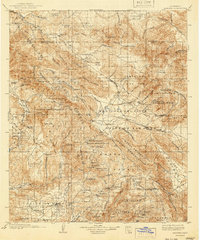
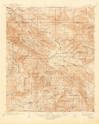
1903 Map of Ramona
USGS Topo · Published 1941About this map
Julian and the mining camp at Banner anchor the eastern reaches of this inland San Diego County landscape, surveyed at the dawn of the 20th century. The region is characterized by high valleys and significant elevations like Palomar Mt. and Hot Springs Mt., which overlook the sprawling Cleveland National Forest. This era shows a complex geography of land use, with numerous tribal lands including the Santa Ysabel Indian Res. and La Jolla Indian Reservation interspersed among ranching and agricultural basins. The settlement at Ramona occupies the Valle de Pamo (Santa Maria Valley) in the southwest, while more remote outposts like Oakgrove and Nellie mark the canyon passes. Water sources such as San Luis Rey River and Durasnitos Spring were vital for the burgeoning rural communities of Witch Creek and Mesa Grande.
Find a feature on this map
63 named features on this map. Tap any name to fly to it.
Don’t see what you’re looking for? This feature index may not catch every label — zoom into the map to look around manually.
Map Details
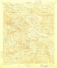
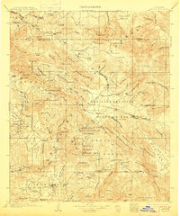
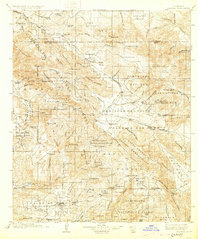
Editions of this 1903 Ramona Map
6 editions found

Other maps of this area

1893 · El Cajon
USGS Topo · 1:62,500

1893 · Escondido
USGS Topo · 1:62,500

1901 · Southern California Sheet No. 1
USGS Topo · 1:250,000

1901 · Elcajon
USGS Topo · 1:62,500

1901 · San Jacinto
USGS Topo · 1:125,000

1901 · Elsinore
USGS Topo · 1:125,000

1901 · Escondido
USGS Topo · 1:62,500

1901 · San Luis Rey
USGS Topo · 1:125,000

1903 · Cuyamaca
USGS Topo · 1:125,000

1903 · La Jolla
USGS Topo · 1:62,500