
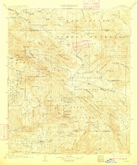
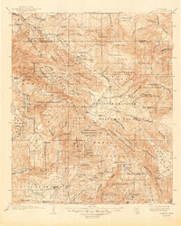
1903 Map of Ramona
USGS Topo · Published 1903About this map
The San Jacinto Forest Reserve dominates the northern reaches of this backcountry landscape, where the Riverside and San Diego County line cuts through a series of high valleys and canyons. At the turn of the century, this region was defined by its scattered mountain outposts and deep indigenous roots, evidenced by the extensive Santa Ysabel Indian Reservation and the Pauma Indian Reservation.
Find a feature on this map
122 named features on this map. Tap any name to fly to it.
Don’t see what you’re looking for? This feature index may not catch every label — zoom into the map to look around manually.
Map Details
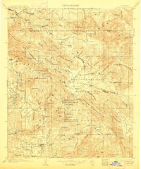
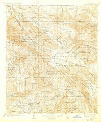
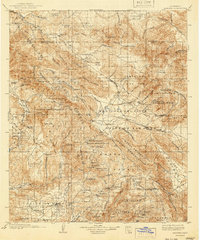
Editions of this 1903 Ramona Map
6 editions found
Other maps of this area

1893 · El Cajon
USGS Topo · 1:62,500

1893 · Escondido
USGS Topo · 1:62,500

1901 · Southern California Sheet No. 1
USGS Topo · 1:250,000

1901 · Elcajon
USGS Topo · 1:62,500

1901 · San Jacinto
USGS Topo · 1:125,000

1901 · Elsinore
USGS Topo · 1:125,000

1901 · Escondido
USGS Topo · 1:62,500

1901 · San Luis Rey
USGS Topo · 1:125,000

1903 · Cuyamaca
USGS Topo · 1:125,000

1903 · La Jolla
USGS Topo · 1:62,500