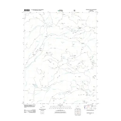
2011 Map of Rampart Hills
USGS Topo · Published 2011About this map
Jersey Jim Lookout Tower stands as a focal point in this high-elevation landscape of Montezuma County, where the headwaters of the West Mancos River and Middle Mancos River carve through the Rampart Hills. The map documents a complex network of water management and extraction, featuring the Jackson Gulch Inlet Canal and the Weber Reservoir Inlet Ditch alongside numerous small reservoirs like Box Canyon Reservoir.
Find a feature on this map
91 named features on this map. Tap any name to fly to it.
Don’t see what you’re looking for? This feature index may not catch every label — zoom into the map to look around manually.
Map Details
Editions of this 2011 Rampart Hills Map
This is the sole edition of this map. No revisions or reprints were ever made.
Other maps of this area

1895 · La Plata
USGS Topo · 1:62,500

1897 · La Plata
USGS Topo · 1:62,500

1897 · Rico
USGS Topo · 1:62,500

1898 · Rico
USGS Topo · 1:62,500

1899 · La Plata
USGS Topo · 1:62,500

1899 · Rico
USGS Topo · 1:62,500

1908 · La Plata
USGS Topo · 1:62,500

1956 · Cortez
USGS Topo · 1:250,000

1958 · Cortez
USGS Topo · 1:250,000

1959 · Cortez
USGS Topo · 1:250,000